Use These Maps to Find Ghost Towns in Your Area
Visiting a (genuine) ghost town is one of the closest things we have to time travel. This is especially the case when you come across a building or home that looks as though its occupants suddenly disappeared during the...
 Kass
Kass
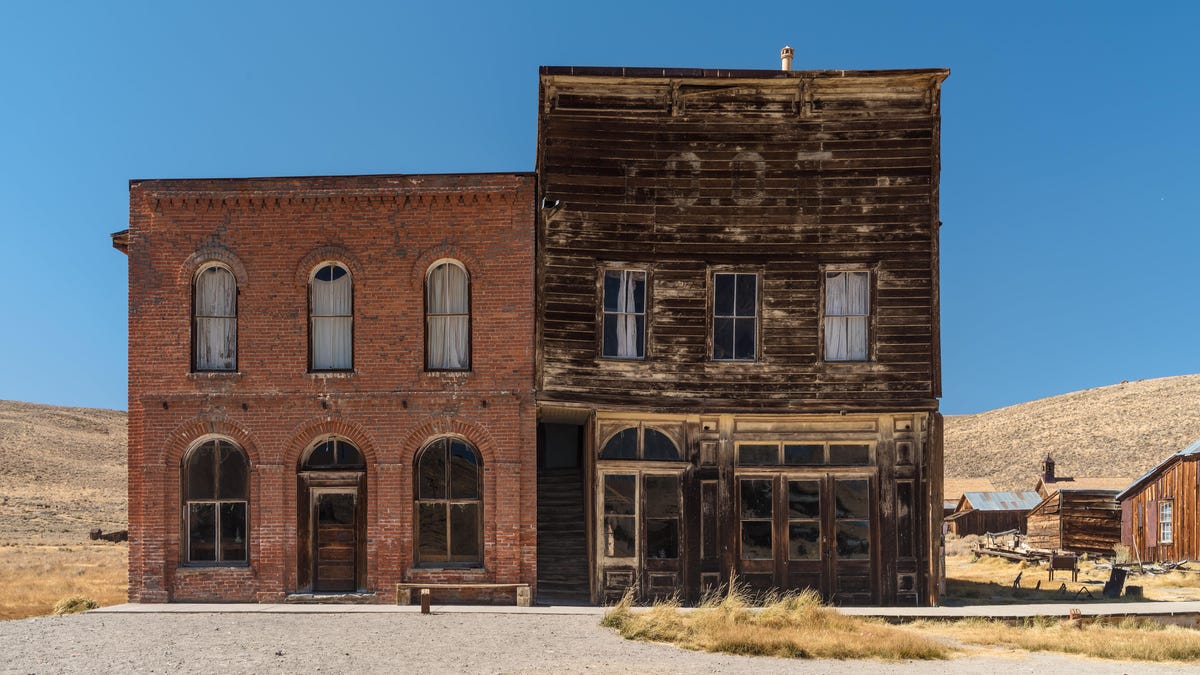
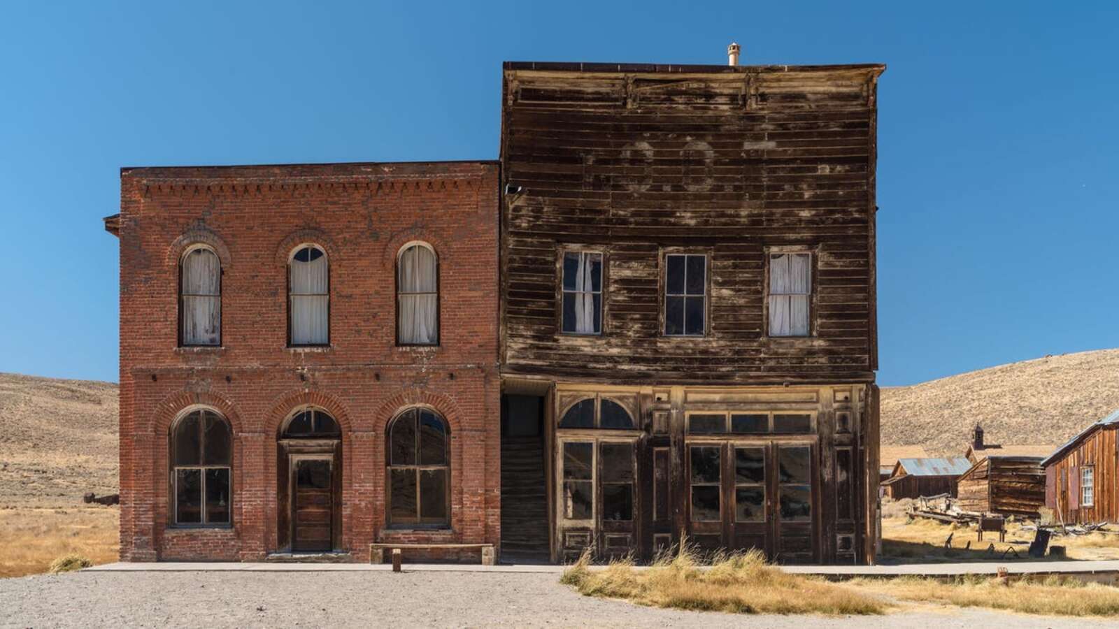
Photo: Angel DiBilio (Shutterstock)
Visiting a (genuine) ghost town is one of the closest things we have to time travel. This is especially the case when you come across a building or home that looks as though its occupants suddenly disappeared during the course of a day, without packing up any belongings before they left.
And while some ghost towns—like Bodie, California, which is now a state historic park—are well-known tourist destinations, others are harder to find (sometimes because they’re quite literally off the beaten path). There’s also the possibility that there’s a nearby ghost town you never even knew existed.
Fortunately, there are various interactive maps that can point explorers in the right direction. Here are a few examples.
Ghost Towns of America
To create the “Ghost Towns of America” map, the team at the telematics company Geolab researched more than 3,800 ghost towns located across all 50 states. To use the map, click on the state you’d like to explore, and you’ll get a brief summary of its ghost towns, including the total number of ghost towns, and the county and metropolitan area that are home to the most abandoned hamlets. The map also offers a more in-depth look at 10 of the country’s ghost towns.
Ghost Town Gallery
The good news: The interactive map on the Ghost Town Gallery website contains fare more detailed information than the one discussed above. The bad news: It only provides that information for ghost towns across nine states in the western part of the U.S. (Arizona, California, Colorado, Idaho, Montana, New Mexico, Nevada, Oregon, and Utah).
United States Ghost Towns
Yes, the interactive map on GhostTowns.com looks a bit outdated, but it’s also one of the most comprehensive and useful ones out there. Again, start by clicking on a state. That will bring up a map of the state divided into numbered sections, and a list of ghost towns below, including the section of the map where they’re located.
You’ll need to pinpoint the exact locations of the towns yourself, but if you click on each name, you’ll be directed to a page giving you the low-down on the ghost town. This includes:
Its nameThe county where it’s located The type of vehicle you need to access the town (i.e. if a two-wheel drive car is fine, or if a four-wheel drive or off-road vehicle is required) The local climateThe best time of year to visitWhether its an entire ghost town, or a mix of abandoned and occupied homes and other structures.Finally, there’s a paragraph or two on the history of each town, as well as comments on whether or not the remains are worth the visit.